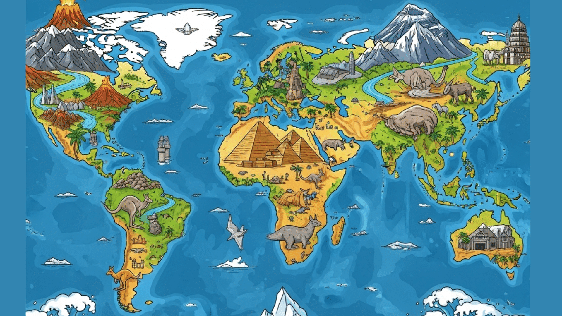
Our planet has many natural wonders and features worth knowing about. From tall mountains to deep oceans, Earth shows us how varied and rich our home truly is.
Countries have different landforms, climates, and resources that shape how people live. These facts cover key aspects of our world’s physical makeup, human settlements, and natural events.
Learning about geography helps us understand weather patterns, population trends, and resource distribution. This knowledge matters for making good choices about the environment and planning for the future.
Let’s look at some key facts about our world’s geography.
Facts Based on Continents and Countries
1. Africa, the second-biggest landmass after Asia, is home to over 1.5 billion people spread across 54 countries. It’s like a giant puzzle with many unique pieces, each with its own culture and history shaped by diverse environments.
2. Australia, the smallest continent, is also a single country with incredible biodiversity. Imagine a living museum where you can find unique animals like hopping kangaroos, sleepy koalas, and the strange platypus, found nowhere else naturally.
3. Asia, the largest continent, covers about 30% of Earth’s land and is home to over 60% of the world’s population. It’s a land of extremes, from the highest mountains to vast plains, influencing how billions of people live.
4. Antarctica, at the South Pole, is the coldest, driest, and windiest continent. Almost entirely covered in ice, it’s so harsh that no one lives there permanently, making it a true frozen wilderness.
5. Europe, a continent packed with history and different cultures, features the world’s smallest country, Vatican City. Despite its size, Europe has played a huge role in shaping global events, languages, and ideas.
6. North America, with 23 countries including the USA, Canada, and Mexico, showcases a wide range of climates. You can go from Arctic cold in Canada to tropical heat in Mexico without leaving the continent.
7. Madagascar is the world’s fourth largest island and is home to thousands of plant and animal species found nowhere else, including lemurs and baobab trees.
8. Russia, the world’s largest country by land area, spans across 11 different time zones and sits on two continents, Europe and Asia. This vastness leads to a huge variety in its landscapes and cultures.
9. Liechtenstein, a tiny principality in the Alps between Switzerland and Austria, is one of the world’s only two doubly landlocked countries.
10. Brazil, the largest country in South America, takes up almost half of the continent’s land. It’s famous for its vibrant culture, passion for soccer, and the mighty Amazon River flowing through its territories.
Interesting Facts on Oceans and Seas
11. The Pacific Ocean, the largest and deepest, covers over 63 million square miles and plunges to over 36,000 feet in the Mariana Trench. It’s like a massive underwater world with mountains taller than Everest and valleys deeper than the Grand Canyon.
12. The Atlantic Ocean, the second-largest, acts as a major divider between the Americas and Europe/Africa. Its busy shipping lanes are crucial for global trade, connecting different parts of the world economically.
13. The Indian Ocean, the third-largest, is bordered by Africa, Asia, Australia, and the Indian subcontinent. It’s a vital waterway for global commerce and influences the weather patterns of many surrounding regions.
14. The Southern Ocean, surrounding Antarctica, is unique for its extremely cold temperatures and powerful currents that play a key role in regulating Earth’s overall climate by moving heat around the globe.
15. The Mediterranean Sea, connected to the Atlantic by the narrow Strait of Gibraltar, has been central to world history, bordered by Europe, Asia, and Africa, serving as a highway for ancient civilizations and trade.
16. The Red Sea, an inlet of the Indian Ocean between Africa and the Arabian Peninsula, is renowned for its vibrant coral reefs and diverse marine life, making it a biodiversity hotspot for underwater ecosystems.
17. The Caspian Sea, the world’s largest inland body of water, is bordered by five countries: Russia, Kazakhstan, Turkmenistan, Iran, and Azerbaijan. It’s like a giant lake with unique ecological and economic significance.
18. The Caribbean Sea, located in the tropics and bordered by islands and Central/South America, is famous for its clear, warm waters and extensive coral reefs, making it a popular destination for its natural beauty.
19. The Arctic Ocean, the smallest and shallowest, is mostly covered in sea ice. Its rapidly changing ice conditions are a significant indicator of global warming and its impact on the planet.
20. The Coral Sea, off the northeast coast of Australia, is known for its numerous coral reefs and islands, including parts of the Great Barrier Reef. It’s a crucial habitat for a vast array of marine species.
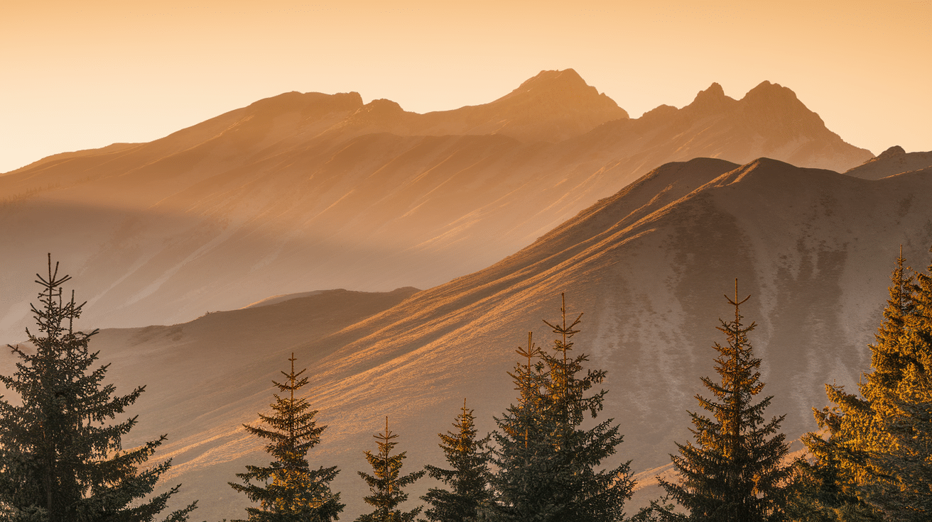
Unique Facts About Mountains and Volcanoes
21. Mount Elbrus in Russia is the highest mountain in Europe, standing at 18,510 feet and is part of the Caucasus mountain range.
22. Mount Kilimanjaro, the tallest mountain in Africa located in Tanzania, is a unique free-standing volcano. Its snow-capped peak near the equator is a striking geographical anomaly.
23. The Andes Mountain range, stretching over 7,000 kilometers along South America’s western coast, is the longest continental mountain range. It significantly influences the climate and biodiversity of the continent.
24. The Alps, located in Europe and spanning eight countries, are home to famous peaks like Mont Blanc, the highest point in Western Europe. They’ve shaped the culture and landscapes of the region for centuries.
25. Mount Fuji, an iconic and sacred volcano in Japan, stands at 12,388 feet and is a powerful symbol of beauty and cultural importance, often featured in Japanese art and traditions.
26. Mount Vesuvius in Italy is one of the most famous active volcanoes, historically known for its devastating eruption in AD 79 that buried the Roman cities of Pompeii and Herculaneum, preserving them in ash.
27. The Rocky Mountains in North America extend over 3,000 miles from Canada to New Mexico, characterized by their towering peaks and abundant natural resources, playing a significant role in the continent’s geography.
28. Mount St. Helens, in Washington state, erupted in 1980, dramatically altering the surrounding landscape and providing scientists with valuable insights into the power and processes of volcanic activity.
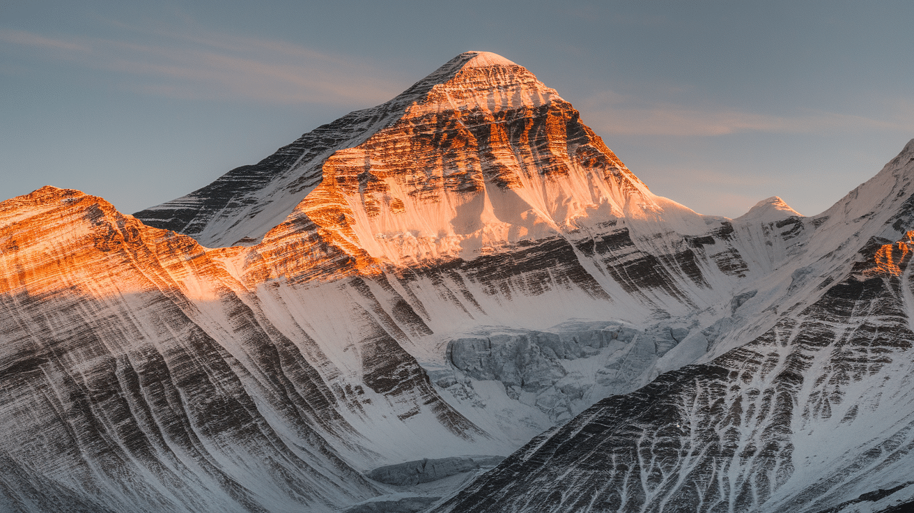
29. The Himalayan mountain range, where Everest is located, was formed by the collision of the Indian and Eurasian tectonic plates, a powerful geological process that continues to shape the region and cause earthquakes.
30. Mount Erebus, located on Ross Island in Antarctica, is the southernmost active volcano on Earth. It features a persistent lava lake in its summit crater, making it one of the few volcanoes in the world with this rare phenomenon, and is a key site for studying volcanic activity in extreme polar conditions.
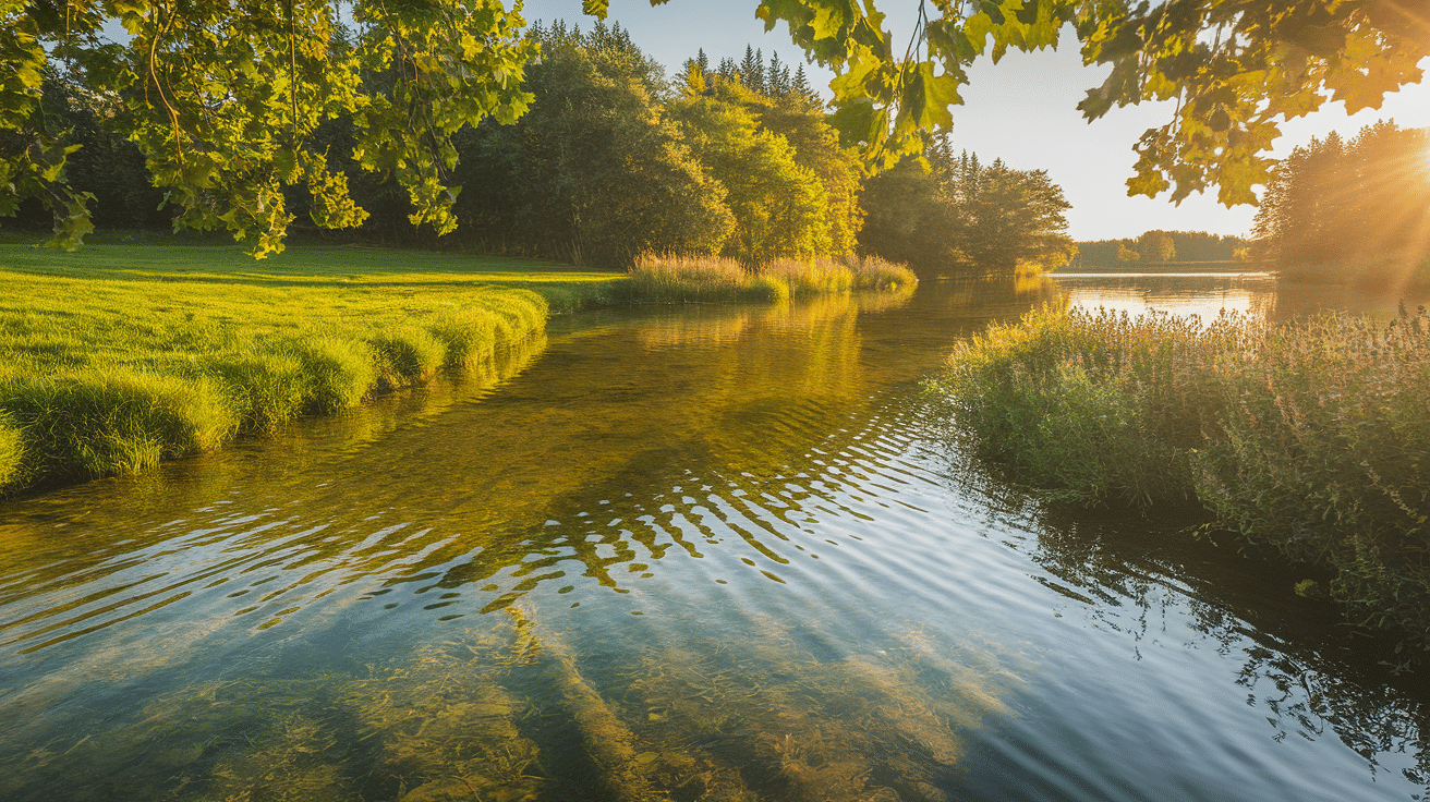
Essential Facts About Rivers and Lakes
31. The Nile River, the longest river in the world at over 4,100 miles, flows through northeastern Africa and eleven countries, including Egypt and Sudan, historically crucial for agriculture and civilization in the region.
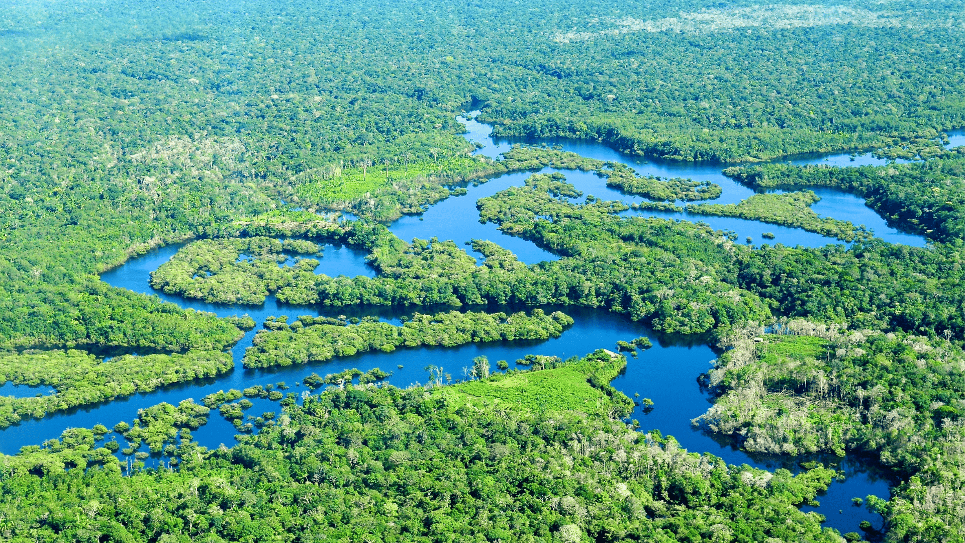
32. The Amazon River in South America, while the second-longest, has the largest water discharge volume globally, carrying more freshwater than any other river and supporting the immense Amazon rainforest.
33. The Mississippi River, one of North America’s longest rivers at 2,340 miles, flows through the United States and has been a vital transportation route and economic artery for the country.
34. The Yangtze River, Asia’s longest river stretching over 3,900 miles in China, is critical for the country’s agriculture, industry, and transportation, supporting the livelihoods of hundreds of millions of people.
35. Lake Baikal in Siberia, Russia, is the deepest lake in the world, reaching a depth of 5,387 feet, and is home to unique species like the Baikal seal, found nowhere else on Earth.
36. The Great Lakes of North America, comprising lakes Superior, Michigan, Huron, Erie, and Ontario, form the largest group of freshwater lakes by total surface area, holding about 20% of the world’s surface fresh water.
37. The Danube River flows through Central and Eastern Europe, touching ten countries, and is the second-longest river in Europe after the Volga, historically and economically significant for the region.
38. The Congo River in Central Africa is the deepest river in the world, with recorded depths of up to 220 meters (720 feet), flowing through the heart of the African rainforest.
39. The Mekong River, a major river in Southeast Asia, flows through six countries and supports the livelihoods of millions through its rich fisheries and fertile delta regions, crucial for food security.
40. Lake Tanganyika, located in East Africa, is the world’s second-deepest lake and one of the longest, harboring an extraordinary diversity of fish species and playing a vital role in the regional ecosystem.
Key Insights Into Climate and Weather Patterns
41. The Chinook winds, also known as “snow eaters,” are warm, dry winds that descend the eastern slopes of the Rocky Mountains in North America. They can raise winter temperatures by as much as 40°F (22°C) in just a few hours, rapidly melting snow and dramatically changing local weather conditions.
42. The Indian monsoon is a powerful seasonal wind system that brings heavy rains to the Indian subcontinent each summer, supporting agriculture but also causing floods and landslides in many regions.
43. The monsoon season in South Asia brings intense, heavy rains to countries like India and Bangladesh, which is crucial for agriculture but can also lead to devastating floods and landslides.
44. The El Niño and La Niña phenomena in the Pacific Ocean are natural climate patterns that cause significant shifts in global weather, leading to droughts, floods, and temperature changes in many parts of the world.
45. The Arctic Circle experiences dramatic seasonal changes in daylight, with polar nights where the sun doesn’t rise for up to six months and the midnight sun where it doesn’t set for months.
46. Tornadoes are most common in the United States, particularly in “Tornado Alley,” a region with specific atmospheric conditions that frequently lead to the formation of these powerful rotating storms.
47. The Mediterranean climate, found in regions like southern California and the Mediterranean Basin, is characterized by hot, dry summers and mild, wet winters, ideal for certain types of agriculture.
48. The Svalbard archipelago in Norway experiences four months of polar night, where the sun does not rise at all.
49. Tropical cyclones, known as hurricanes in the Atlantic and typhoons in the Pacific, are powerful rotating storms that form over warm ocean waters, bringing strong winds, heavy rain, and coastal flooding to affected areas.
50. The Taiga, or boreal forest, is the world’s largest land biome, characterized by long, cold winters and short, mild summers, dominated by coniferous trees across vast areas of North America and Eurasia.
A Look Into The Natural Wonders
51. The Grand Canyon in Arizona, USA, is a spectacular natural wonder carved by the Colorado River over millions of years, revealing layers of Earth’s history across its immense 277-mile length and mile-deep chasm.
52. Uluru (Ayers Rock) in Australia is a massive sandstone monolith considered sacred by Indigenous Australians and changes color dramatically at sunrise and sunset.
53. The Dead Sea, bordered by Jordan and Israel, is the lowest point on Earth’s surface and its hypersaline water allows swimmers to float effortlessly.
54. The Giant’s Causeway in Northern Ireland features about 40,000 interlocking basalt columns formed by ancient volcanic activity.
55. The Northern Lights, or Aurora Borealis, are a mesmerizing natural light display in Earth’s polar regions, caused by the interaction of solar particles with the planet’s magnetic field, painting the night sky with vibrant and dynamic colors.
56. Lake Titicaca, on the border of Bolivia and Peru, is the highest navigable lake in the world and steeped in Incan mythology.
57. Victoria Falls, located on the border between Zambia and Zimbabwe, is one of the largest and most famous waterfalls globally, with a width of 1,708 meters and a dramatic 108-meter drop, creating a thunderous roar and spectacular misty scenery.
58. The Galápagos Islands, an archipelago belonging to Ecuador, are renowned for their unique wildlife that inspired Charles Darwin’s theory of evolution, showcasing remarkable adaptations to their isolated volcanic environment.
59. The Serengeti National Park in Tanzania is famous for its annual wildebeest migration, a massive movement of millions of animals across the plains, representing one of Africa’s most iconic natural landscapes and ecosystems.
60. The fjords of Norway, formed by glacial erosion, are deep, narrow inlets of the sea with steep cliffs rising from the water, creating dramatic and picturesque coastal scenery that attracts visitors from around the world.
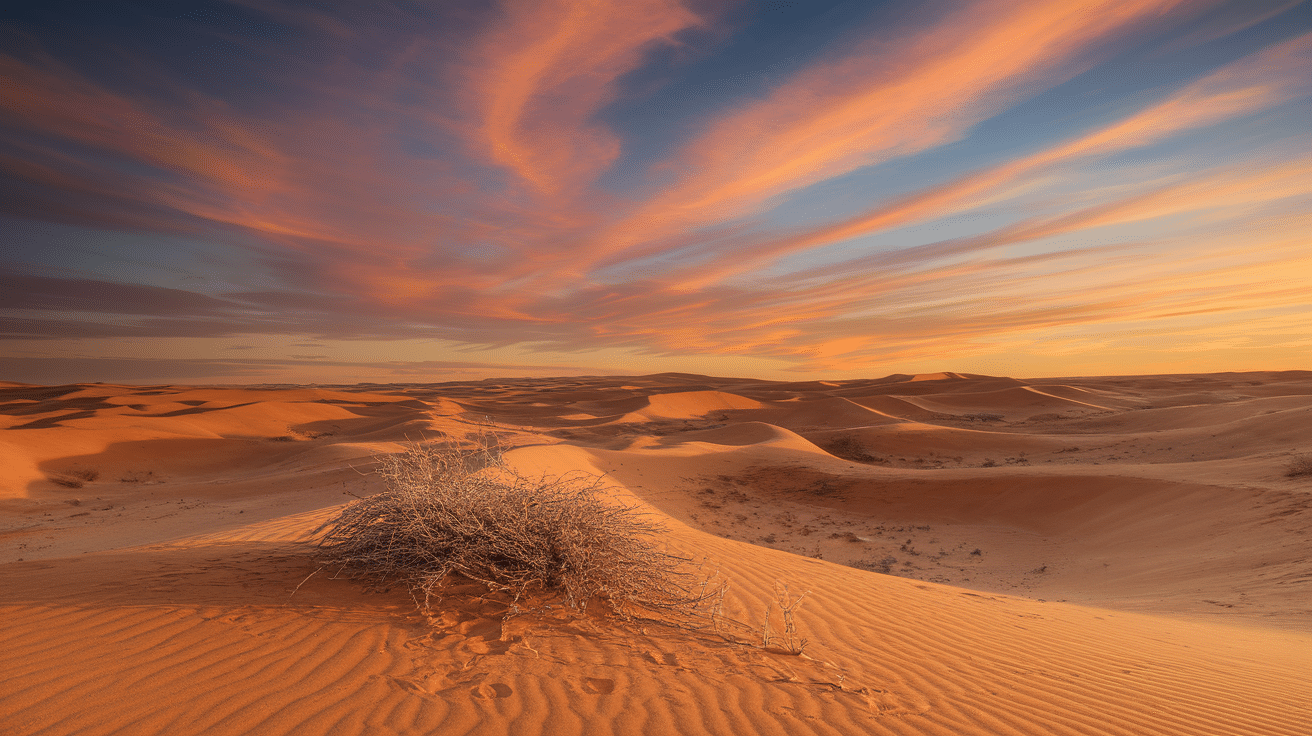
Surprising Facts About Deserts and Rainforests
61. The Atacama Desert in northern Chile is one of the driest places on Earth, with some areas having no recorded rainfall for centuries, resulting in an extremely arid and almost Mars-like landscape.
62. The Kalahari Desert in Southern Africa, despite being classified as a desert, supports a surprising variety of wildlife, including meerkats and lions, adapted to its semi-arid conditions and sparse vegetation.
63. The Sonoran Desert, spanning parts of Mexico and the United States, is uniquely characterized by its towering saguaro cacti, which can grow to heights of over 40 feet and live for up to 200 years, playing a vital role in the desert ecosystem.
64. The Namib Desert, located in Namibia, is known for having some of the tallest sand dunes in the world, with the impressive dunes at Sossusvlei reaching heights of over 300 meters, shaped by the coastal winds.
65. The Valdivian temperate rainforest in southern Chile is one of the world’s few temperate rainforests, rich in unique plant species like the ancient Alerce tree.
66. The Tongass National Forest in Alaska, USA, is the largest temperate rainforest in North America, covering nearly 17 million acres. It is home to towering old-growth spruce and hemlock trees, brown bears, bald eagles, and some of the world’s most pristine salmon streams.
67. The Mojave Desert, located in the southwestern United States, is home to Death Valley, which holds the record for the highest air temperature ever recorded on Earth, reaching a scorching 134°F (56.7°C).
68. The Gobi Desert, a cold desert spanning parts of northern China and southern Mongolia, experiences extreme temperature variations between summer and winter and is known for its sparse vegetation and hardy wildlife like the Bactrian camel.
69. The Daintree Rainforest in Queensland, Australia, is one of the oldest rainforests on Earth, boasting an incredible diversity of plant and animal life, including many species that are found nowhere else in the world.
70. The Sahara Desert isn’t just endless sand dunes; it also features vast rocky plateaus, gravel plains, and even some mountainous regions, showcasing a more diverse landscape than commonly imagined.
71. Monaco, a tiny city-state nestled along the French Riviera on the Mediterranean coast, holds the distinction of being the world’s most densely populated country, with over 25,000 residents crammed into each square kilometer, a stark contrast to vast, sparsely populated nations.
That’s A Wrap
Geographic knowledge helps us better understand the world around us. These facts show how physical features influence everything from weather to population distribution.
Next time you notice a mountain range or river on a map, think about its broader impact on the surrounding area. Ready to put this knowledge to use?
Check out our related blogs on climate zones or leave your thoughts in the comments section below.